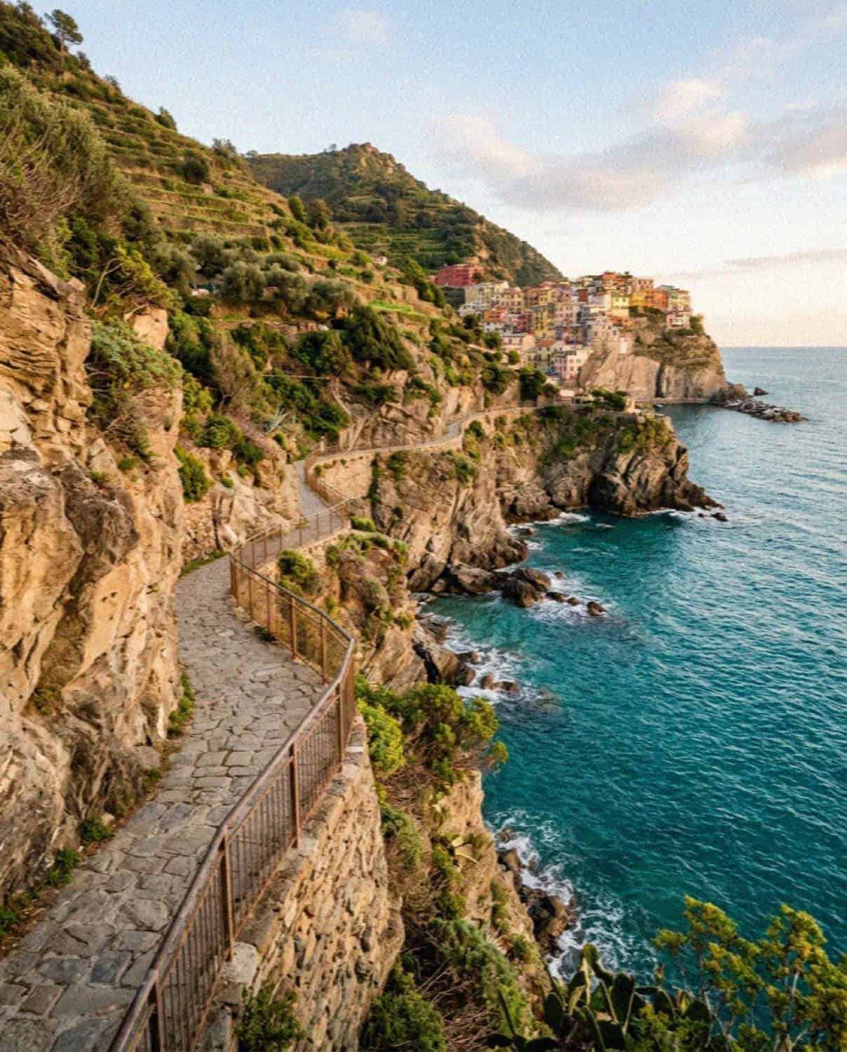
Walking is half the reason to come to Cinque Terre. The five villages are linked by a network of paths cut into the terraces above the sea, and covering even one section on foot turns a train-hop tour into a proper journey. But the trails change from season to season, some legs close for years after landslides, and there is a timed-entry system on the most famous stretch, so a little planning saves a lot of disappointment. Here is how hiking in Cinque Terre actually works in 2026.
The Sentiero Azzurro, the famous Blue Trail
The route everyone means when they say “hiking the Cinque Terre” is the Sentiero Azzurro, the Blue Trail, the low coastal path that historically linked all five villages just above the water. It is the most scenic walk on the coast and, in places, the most demanding. This is the one thing you should check against the national park’s own website the week you travel, because closures genuinely change.
As of 2026 the picture is good at the northern end. The two classic legs, Monterosso to Vernazza and Vernazza to Corniglia, are open and are the heart of the walk: roughly ninety minutes to two hours each, with real climbing, uneven steps and drops, so proper shoes are required and sandals are turned back at some trailheads in summer. On the busiest days the park now runs a one-way rule on the Monterosso to Vernazza section, mandatory downhill from Monterosso between about 9am and 2pm, so walk that leg early or check the direction of travel before you set off.
The Via dell’Amore, reopened and reservation-only
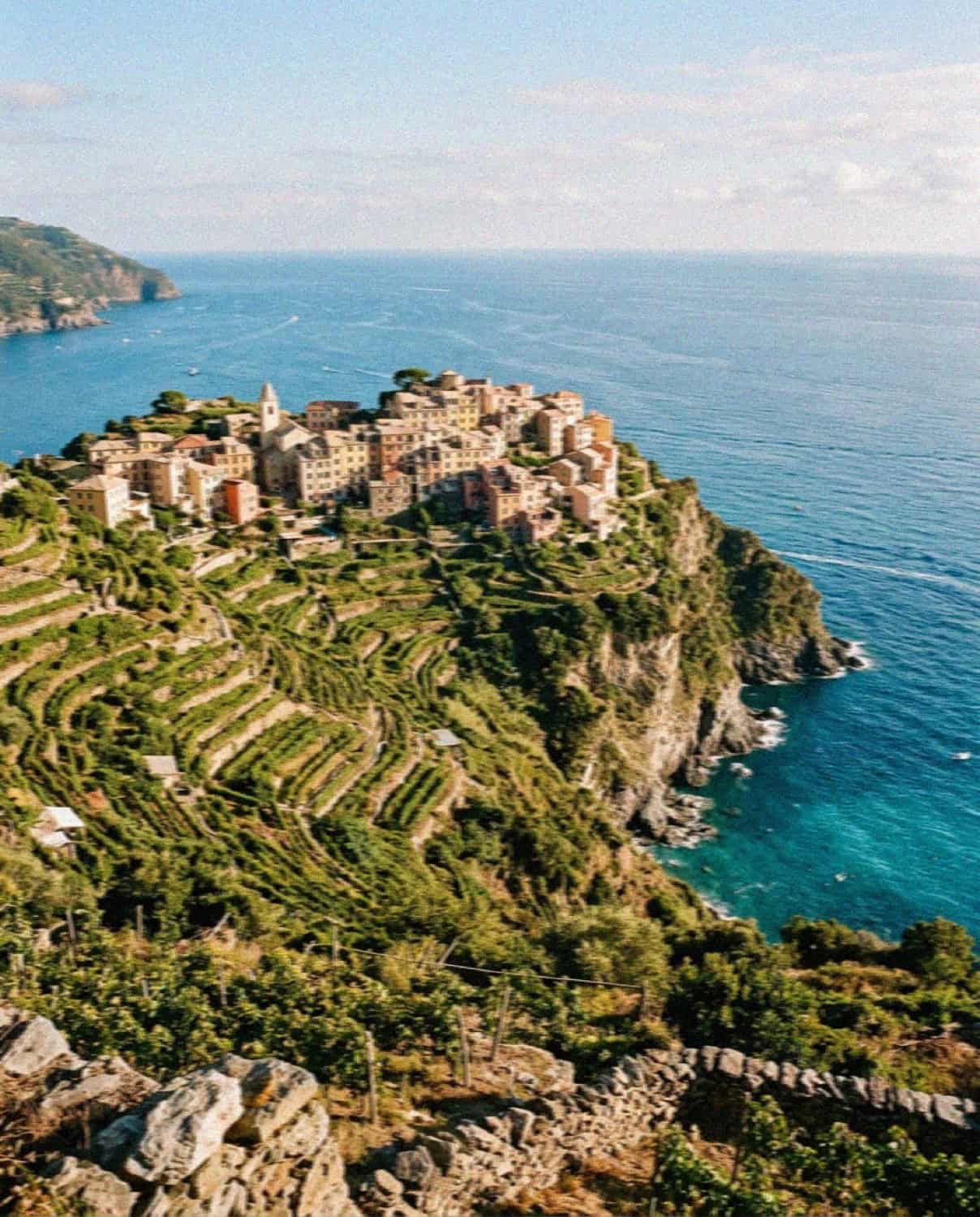
At the southern end, the Via dell’Amore between Riomaggiore and Manarola reopened in August 2024 after more than a decade closed. It is the easiest famous walk on the coast: a paved, almost flat cliff path of just over a kilometre. It now runs on a timed-entry system, with access capped at around 100 people every fifteen minutes, so you book a slot in advance, up to seventy-two hours ahead, and in the warmer months it stays open late, often to around 9pm. Walking it at golden hour, when the sea goes gold below the rock, is one of the loveliest half-hours in Cinque Terre. Book ahead in high season because slots sell out.
When the low path is closed: the higher trails
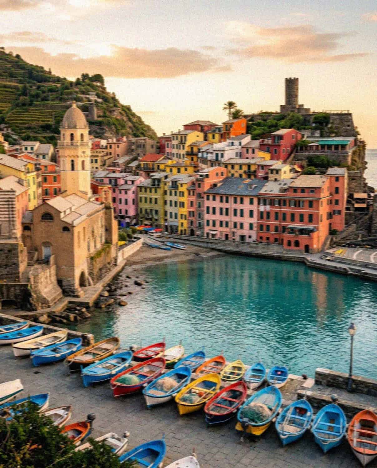
The lower coastal legs, especially Manarola to Corniglia, have a history of closing after landslides, and may be shut when you visit. The good news is that there is almost always a higher alternative through the vineyards and past the sanctuaries above the villages that connects the same two points. These upper trails are harder and much less crowded, and the views down over the villages and the sea are, if anything, better than from the coastal path. If your planned leg is closed, ask at the park information desk in any station for the current high-route alternative.
What you need to walk the trails
To hike the paid sections of the Blue Trail you need a Cinque Terre Card, which comes as a Trekking Card covering the trails and village buses, or a Train Card that adds unlimited travel on the Cinque Terre Express. In 2026 the Trekking Card runs from about €7.50 for one day, and the Via dell’Amore is now included in the card. Wear proper shoes, carry more water than you think you need, start early to beat both the heat and the crowds, and do not underestimate the climbs: these are mountain paths, not a promenade.
Beyond the Blue Trail: the higher and quieter walks
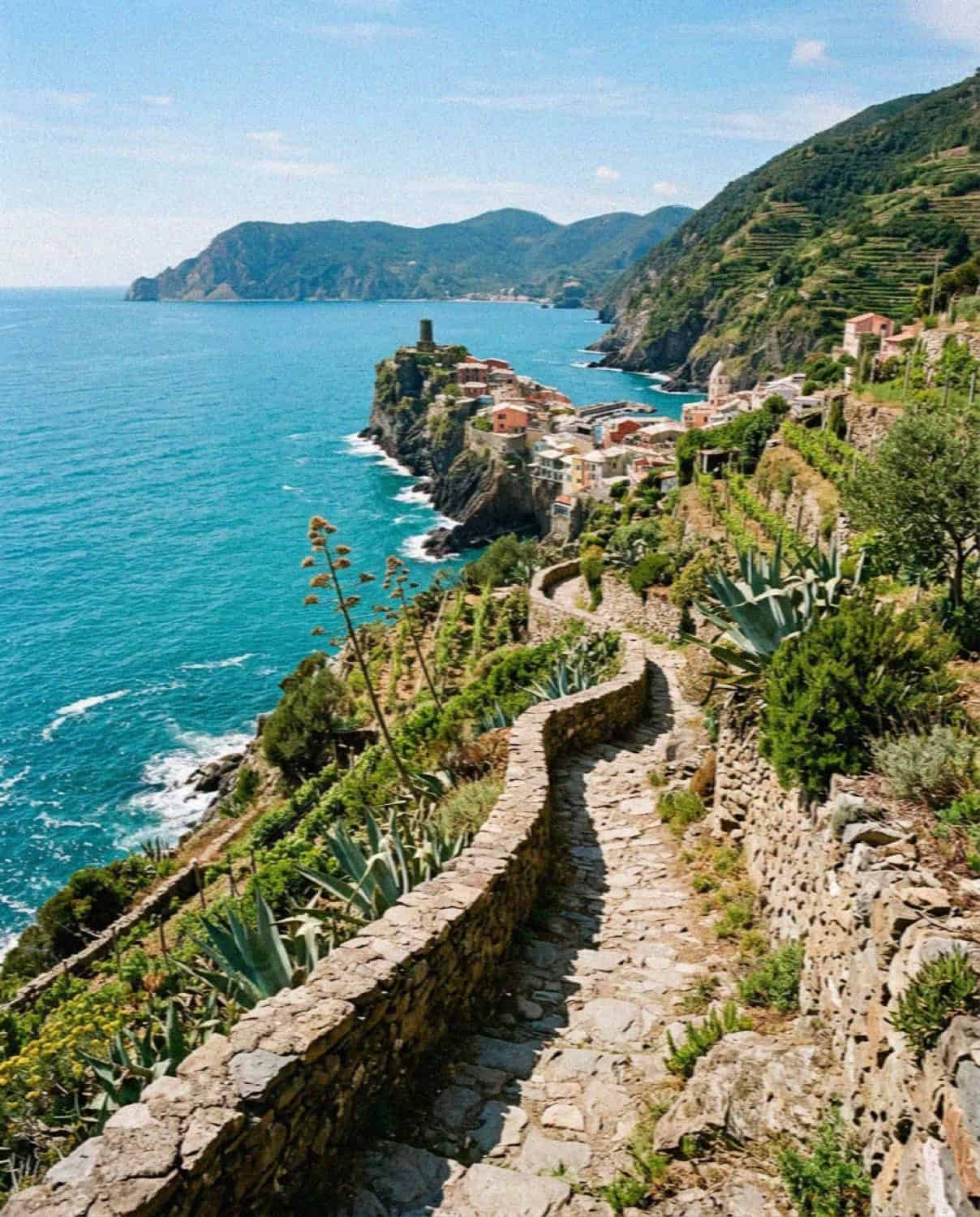
When the coastal path is closed, or when you simply want the crowds to fall away, the upper trails are the answer, and they are free. The best of them is the Corniglia to Manarola route via Volastra, the standard alternative when the low Manarola–Corniglia leg is shut. It climbs through forest and terraced vineyards to the hamlet of Volastra at around 400 metres before descending to Manarola, roughly 5 kilometres and two and a half hours at a medium difficulty. Walk it from Corniglia so the climb is gentler, or ride the bus up to Volastra and walk down to Corniglia to skip the ascent entirely; either way the views over the vines to the sea are the finest on the coast.
Two other walks are worth knowing. Levanto to Monterosso, about 5 miles and three hours, is free, quieter than the paid trail, and a lovely way to arrive into the park on foot. And for serious walkers, the Alta Via (the High Path) runs along the spine of the coastal range from Portovenere to Levanto, well above the villages, with around 800 metres of climbing and almost none of the crowds, connecting to the villages by side trails whenever you want to drop down for lunch or a swim.
A simple walking plan
If you only walk one thing, make it Monterosso to Vernazza, the most dramatic leg, ideally first thing in the morning. With more time and energy, continue Vernazza to Corniglia the same day and take the train back. Save the flat, paved Via dell’Amore for the evening and book it for a golden-hour slot. That gives you the best of the coastal trail and the easiest, prettiest walk in a single, well-paced day.
Frequently Asked Questions
Is the Cinque Terre Blue Trail open in 2026?
The northern legs, Monterosso to Vernazza and Vernazza to Corniglia, are open. The southern lower path, Manarola to Corniglia, has closed repeatedly after landslides, so check the national park website the week you travel.
Do you need to book the Via dell’Amore?
Yes. The path between Riomaggiore and Manarola reopened in 2024 and runs on timed entry, capped at about 100 people every fifteen minutes. Book up to seventy-two hours ahead, especially in high season.
Do you need a Cinque Terre Card to hike?
Yes, the paid sections of the Blue Trail, including the Via dell’Amore, require a Cinque Terre Card. The Trekking Card starts around €7.50 for one day and also covers the village buses.
How hard is the Cinque Terre Blue Trail?
The classic Monterosso to Vernazza and Vernazza to Corniglia legs are moderately strenuous, with steep steps and drops, taking roughly ninety minutes to two hours each. Proper footwear is required. The Via dell’Amore is flat and easy.
What if the trail I want is closed?
There is almost always a higher trail through the vineyards and sanctuaries connecting the same two villages. It is harder and quieter, with even better views. Ask at any station’s park desk for the current alternative.
Planning the wider trip? See the complete guide to Cinque Terre for the villages, trains, beaches and where to stay.
Read also: The Perfect Cinque Terre Itinerary | The Best Photo Spots in Cinque Terre | The Complete Guide to Cinque Terre